Discover Kiamichi Valley Hiking
The Ouachitas are calling and I must go!
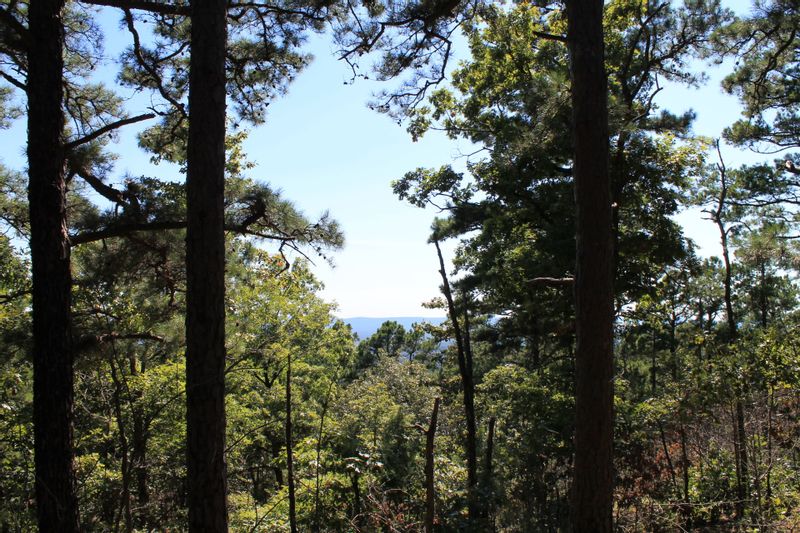
If the Ouachita Mountain range is calling you, the beautiful Kiamichi Valley offers a variety of hikes with a range of difficulty levels. Whether you’re looking for a pleasant shady stroll or a gnarly through hike, you’ll find what you’re looking for in Kiamichi Valley.
Clayton Lake State Park: Easy & Family-Friendly Hiking in Kiamichi Valley
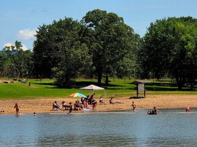
Enjoy the serenity of Clayton Lake State Park by taking a .07-mile stroll around on the paved walking trails. The calm, scenic lake is located about 5 miles southeast of Clayton on HWY 271 and is a perfect choice for those seeking a more accessible outdoor experience.
https://maps.apple/r/2GcIF83-m7waWx
Eagle Trail at Potato Hills
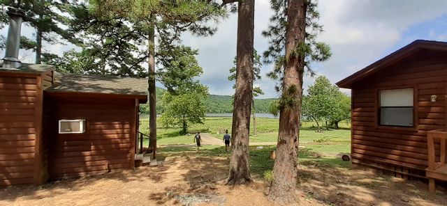
The Eagle Trail connects the two campgrounds at Potato Hills at Sardis lake. This is an easy, shady 1.1 mile out and back trail that is family friendly. The Eagle trail has several educational signs about the area and stunning lake views. This trail is a must do if you’re traveling with kids or if you’re interested in the geography of Kiamichi Valley.
https://maps.apple/p/BQqMjtMB9rs~rY
Moderate Hiking Trails at Sardis Lake
Sardis Lake offers a range of easy to moderate trails. For an easy 3.9-mile loop, come try the Yellow and White Loop trail. The path is hilly but without too much change in elevation. This trail follows the Red Trail from the trail head along HWY 2 and turns west toward the lake via the Yellow Trail. If you’re looking for a more moderate hike, take the 4.6 mile Blue loop. Start by following the Red Trail along HWY 2 North until it splits and the Blue trail heads west and loops back to the trailhead.
https://maps.apple/p/Vxq~jY_QsewpH8
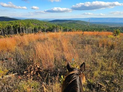
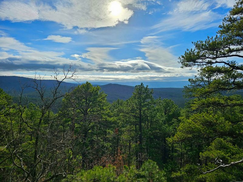
Challenging Hikes in the Ouachita Mountains
Hiking in Kiamichi Valley for Every Skill Level
If the Ouachitas weren’t calling you before, maybe they are now. Come enjoy our placid lakes, our lush forests, and our mountain views. No matter your hiking aspirations or skill level, you’ll find what you’re looking for on Kiamichi Valley nature trails.
https://arkokhiker.org/east-oklahoma/ouachita-trail-talimena-park-potato-hill-vista-pics/